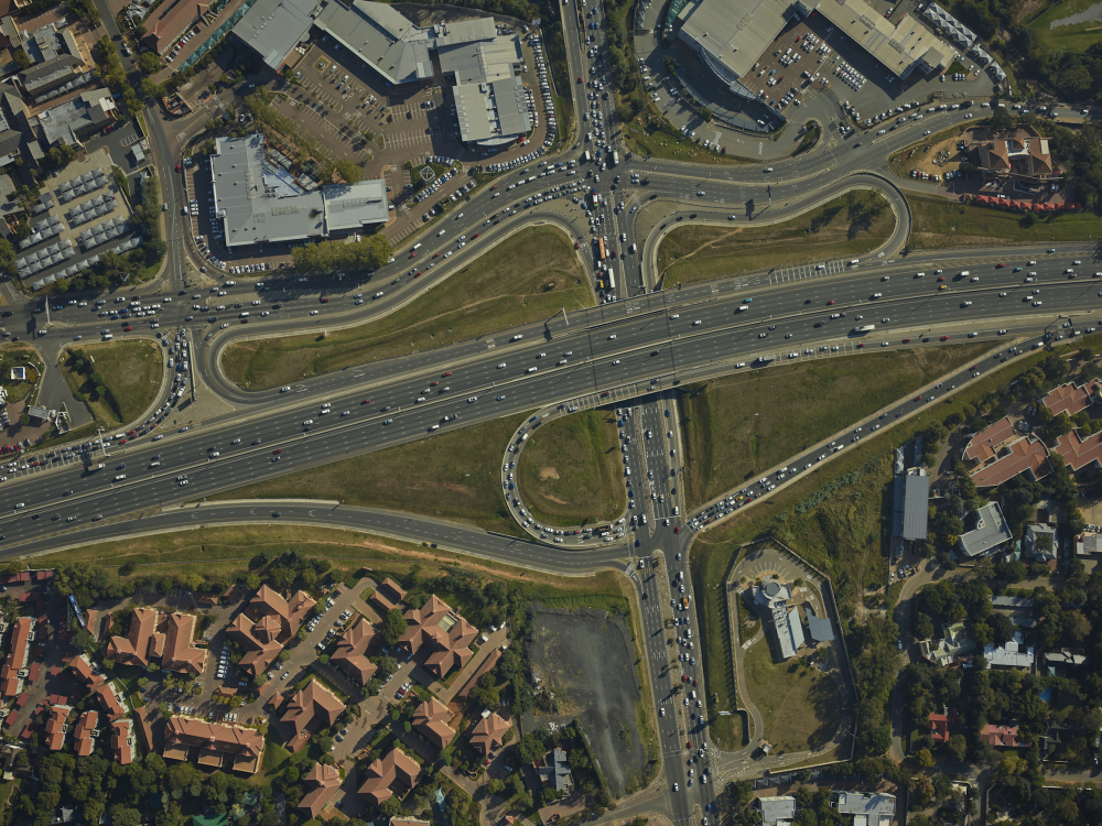
Tallow Africa operates high-end digital aerial cameras which are integrated with the company's airborne LiDAR systems.
For most mapping applications, the cameras used are 100-megapixel iXU-R1000 cameras produced by Phase One in Frederiksberg, Denmark.
For applications in forestry, agriculture and environmental assessment, the 80-megapixel multispectral RCD30 is used which is produced by Leica Geosystems in Heerbrugg, Switzerland.
The images from these medium-format cameras are overlaid on the DTM produced by the airborne LiDAR systems. Through the processes of aerial triangulation and ortho-rectification, high-resolution orthophoto mosaics are created at very high spatial accuracy and integrity.
About Tallow Africa
Offering airborne LiDAR and aerial photography services throughout sub-Sahara Africa, the Middle East and the Indian subcontinent.
Get in touch
Unit 3A, 3rd Floor,
Standard Chartered Tower,
19 Cybercity,
Ebene 72201,
Mauritius